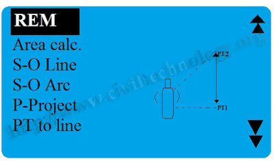
TO FIND OUT H.D ( Horizontal Distance ) ON LEVEL MACHINE
TO FIND OUT H.D ( Horizontal Distance ) ON LEVEL MACHINE First of all open tripod and expand it on ground and then fix level on tripod plate with the help on plumbing fork Now set the bubble with help of leveling screw. when bubble come to the center then leave leveling screw your instrument is ready for work If you ar e using machine first time you must be check Machine Fault Select two point e.g (A & B ) where you want to find horizontal distance ( H.D ) between two point . Now keep staff rod on first point ( A ) and target staff rod and take reading on staff rod on upper hair and then keep the rod on second point (B) and take reading on rod with the help on lower hair. Now you have two point dimension. you can find distance in b/w these point ( A----B) With the help of these formulas Formula;. Upper hair - Lower hair * 100 = H.D OR A - B *100 = H.D Level machine can only find straight line distance. It is only design for Leveling.